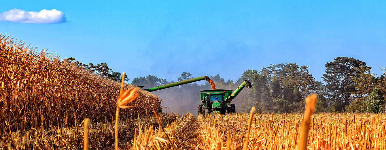
Agriculture’s increase in technology from the late 1800s to the early 1900s caused a steady migration from the family farms to the cities, leaving fewer people to assume the burden of producing more food. This has only been exacerbated in the past ten to twenty years by the development and adoption of GPS guidance systems, a heavy emphasis on efficiency and precision application when planting, growing and harvesting crops.
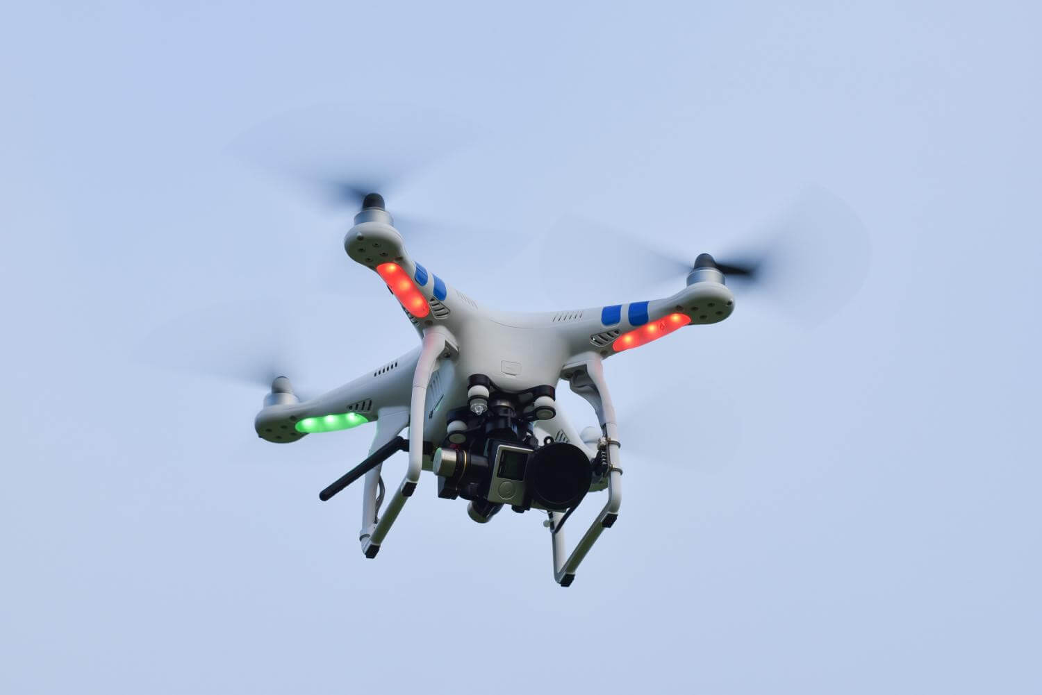
Today, the sky is the limit for technology due to the recent acceptance of small unmanned aerial vehicles (UAVs) for commercial purposes. The desire to find ways to make our jobs more efficient has been almost overwhelming; however, the question that remains to be answered is, do these tools have practical value in the agricultural industry or are they simply gimmicks?
After trial and error experimentation in various situations, we found what we believe to be the strengths and weaknesses, as well as the potential applications, of using UAVs in the field. Through this process, we discovered that drones have a phenomenal and unrivaled vantage point. Such footage is exceptionally valuable whether you are taking videos for real estate, looking at a low spot in a field when it’s wet, or just trying to understand the dynamics of a piece of property. This is beneficial to all parties, from landowners, farm operators and professional farm managers to insurance agents, consultants and even government agencies. Satellite images have been—and will continue to be—useful tools, but a drone offers a real-time interactive experience of a farm that is unmatched.
Another popular application for drone technology has been crop health imagery and herd health management. While we have not been able to utilize tools for herd health specifically, crop imagery is both an exciting and valuable tool. Users have the ability to catch a full glimpse of a field as it is stitched together on a phone, tablet or computer, and software can point out the healthy and struggling spots in the field. Increasingly, some services are able to detect and differentiate details such as a water stress problem or weed pressure issue.
Despite its advantages, there can be issues with this technology on the basis of reliability and expense. Can you always get a reliable image of a field? No. This takes practice and working around different environmental factors such as time of day, cloud cover and even crop duster traffic. It requires a reasonable amount of patience and time that most farm operators may not directly have available. Thus, at times, drones may be better suited for professional farm managers, insurance agents, researchers and other professionals who have more resources to work around these constraints.
The other concern is that of price. Reliable, high-quality drones range from $100 to several thousands of dollars, depending on models and additional equipment. What must be considered is the practical applications a drone will be used for and what economic value can be placed on that service. With these considerations in mind, a budget may be established. The next question is whether a drone exists in that price range that has the required capabilities. Not to show favoritism, but DJI produces very high-quality drones at the most competitive prices. There are cheaper drones available, but it’s quite likely you will regret your decision if you purchase an off-brand. If you wish to process crop health imagery, please be aware of the probable need to purchase a software subscription which can range from free to a couple thousand dollars per year, all depending on what you would like to accomplish.
Finally, the FAA has recently set some regulations regarding drones. Generally, if you are flying under 400 feet, avoiding airports and are not receiving compensation of any kind, you do not concern them. If you plan to fly for monetary gain (commercial purposes) you will need to obtain a UAV pilot’s license through the FAA. Either way, if you plan to purchase a drone, it would be advantageous to read up on the regulations the FAA has put on UAVs. You can do so online at www.faa.gov/uas.
This article was written by Samuel King who intened with GFM and is currently attending Arkansas State University in Jonesboro, AR. Sameul is well trained in the use of drones, aerial photography, and video. Contact Samuel if you wish to have drone imagery of your property.

Samuel King
Email Here